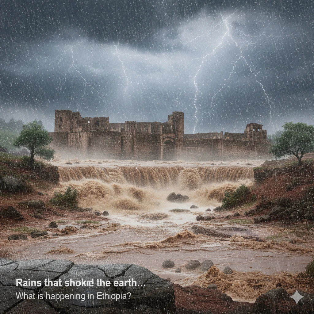
For a long time, many believed that the Earth’s crust was a rigid structure, unaffected by what happens on its surface. However, what is currently being observed in Ethiopia provides new scientific evidence that challenges this assumption, showing that the Earth’s crust is a flexible system that rises and falls in response to changes in surface loads—whether caused by ice, oceans, or seasonal rainfall.
This phenomenon has previously been observed in regions experiencing glacial melting, such as Canada and Scandinavia, as well as in major river basins like the Amazon. Yet documenting it in Ethiopia posed a significant scientific challenge due to the country’s location within the tectonically active East African Rift, where signals from rainfall overlap with the effects of earthquakes, faults, and volcanic activity.
Despite this complexity, a research team from the College of Natural and Computational Sciences at Madda Walabu University in Ethiopia, led by Assistant Professor Dr. Abdissa Kao Kogi, successfully isolated the impact of seasonal rainfall from other geological factors. The findings were published in the Journal of African Earth Sciences.
Dr. Kao Kogi explains the phenomenon using a simple analogy: the Earth’s crust can be imagined as a sponge mattress, while seasonal water acts like a person sitting down or standing up on it. During periods of heavy rainfall, rivers and lakes fill up, soils become saturated, and groundwater is recharged, increasing the mass of water resting on the crust and causing it to sink slightly. Once the rainy season ends and water evaporates, drains away, or infiltrates deeper layers, the load decreases and the crust rebounds upward.
Scientifically, this process is known as “elastic surface loading,” in which the Earth’s lithosphere behaves like a flexible plate floating atop a viscous, elastic mantle. Any temporal change in surface mass—such as rainfall, surface water accumulation, soil moisture, or groundwater recharge—triggers a corresponding elastic response in the Earth’s crust.
When does the phenomenon occur?
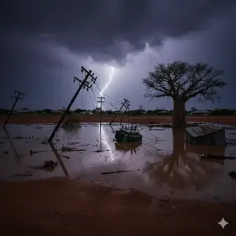
In Ethiopia, these changes occur during the main rainy seasons, Kiremt (June–September) and Belg (February–May). During these periods, heavy rainfall leads to significant seasonal increases in water storage, filling lakes and reservoirs, increasing river discharge, raising soil moisture levels, and replenishing groundwater.
This additional water mass places an increased load on the Earth’s crust, resulting in a slight vertical subsidence that does not exceed a few millimeters. Confirming that this subsidence is directly linked to seasonal rainfall was not straightforward. However, the methodology used by Kao Kogi and his team—combining Global Positioning System (GPS) data with data from the GRACE satellite mission, a joint U.S.–German project that monitors changes in Earth’s gravity—provided conclusive evidence.
According to Kao Kogi, GPS data offer near-real-time monitoring of the crust’s response following rainfall, as they directly measure ground movement at fixed points and record any subsidence or uplift caused by the added weight of water shortly after it falls.
In contrast, GRACE satellites operate differently: they do not measure crustal movement directly, but instead detect changes in gravity associated with increases or decreases in water mass over large areas. Because much of the rainfall requires time to infiltrate soils, recharge groundwater reservoirs, and accumulate in drainage basins, the signal detected by GRACE typically appears after the rainy season ends—usually in October and November—once water storage processes are complete.
Why is the Ethiopian case unique?
Although the phenomenon is well known in geology, its effects in Ethiopia appear stronger and more pronounced than in many other regions. Kao Kogi attributes this to three main factors: the intensity and regularity of seasonal rainfall, the presence of large drainage basins capable of storing vast amounts of water, and the rapid response of shallow groundwater systems to rainfall.
To distinguish the effects of natural seasonal rainfall from those caused by human activities—such as the construction of the Grand Ethiopian Renaissance Dam—scientists rely on a combination of long-term monitoring and scientific modeling.
Kao Kogi explains that the process begins by analyzing crustal behavior during rainy seasons in years preceding any human intervention, in order to establish the natural pattern of ground movement. Using rainfall records and satellite data—particularly from GRACE—researchers define a “baseline” for natural seasonal crustal motion that reflects the expected response to rainfall alone.
These reference values are then compared with actual measurements from GPS stations. Any unusual deviations—such as sudden subsidence or uplift beyond natural levels—indicate potential human-induced effects.
The analysis also incorporates hydrological models that simulate water movement in soils and rivers based solely on climatic factors. If real-world measurements show increases in water storage or crustal deformation that do not align with these models, this is considered clear evidence of human intervention, such as dam construction or large-scale groundwater extraction.
Additionally, researchers analyze the “spatial fingerprint” of ground deformation. Natural rainfall produces broad, regionally distributed deformation, whereas human activities tend to generate localized and concentrated effects, as seen in areas surrounding major dams like the Renaissance Dam.
In conclusion, Kao Kogi emphasizes that this integrated methodology allows scientists to accurately distinguish between crustal movements driven by natural processes and those caused by human activity. This provides a vital scientific foundation for understanding tectonic behavior, improving water resource management, and assessing geological risks in the region.